 Main menu

Las Vegas
Lake Mead Hits Record Low as Colorado River Crisis Deepens
Posted on: August 7, 2026, 03:25h.
Last updated on: August 10, 2026, 07:48h.

Key Points
- Lake Mead dropped to a historic low on Friday morning, breaking its previous record set in July 2022 and holding at only about 27% of its total capacity
- The severe decline is driven by warming temperatures and weak Rocky Mountain snowpack runoff, pushing combined storage for Lakes Mead and Powell to levels not seen since 1957
- A newly released federal 10-year management plan mandates that Lower Basin states cut water usage by up to 3 million acre-feet annually, drawing criticism from state leaders over required cuts


Lake Mead, the largest reservoir in the U.S. and the source of 90% of Las Vegas’ water, just hit a new record low water level, underscoring the accelerating emergency facing the Colorado River Basin.
According to U.S. Bureau of Reclamation data, the water surface dropped to 1,040.46 feet above sea level between midnight and 1 a.m. PT Friday morning (Aug. 7).
That’s the lowest recorded level since Lake Mead was filled nine decades ago.
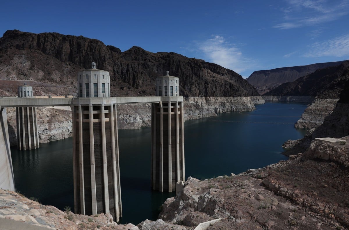
This breaks the record set on July 28, 2022, when rapidly receding shorelines exposed long-submerged boats, the ruins of the sunken city of St. Thomas, and a body in a barrel.
Lake Need
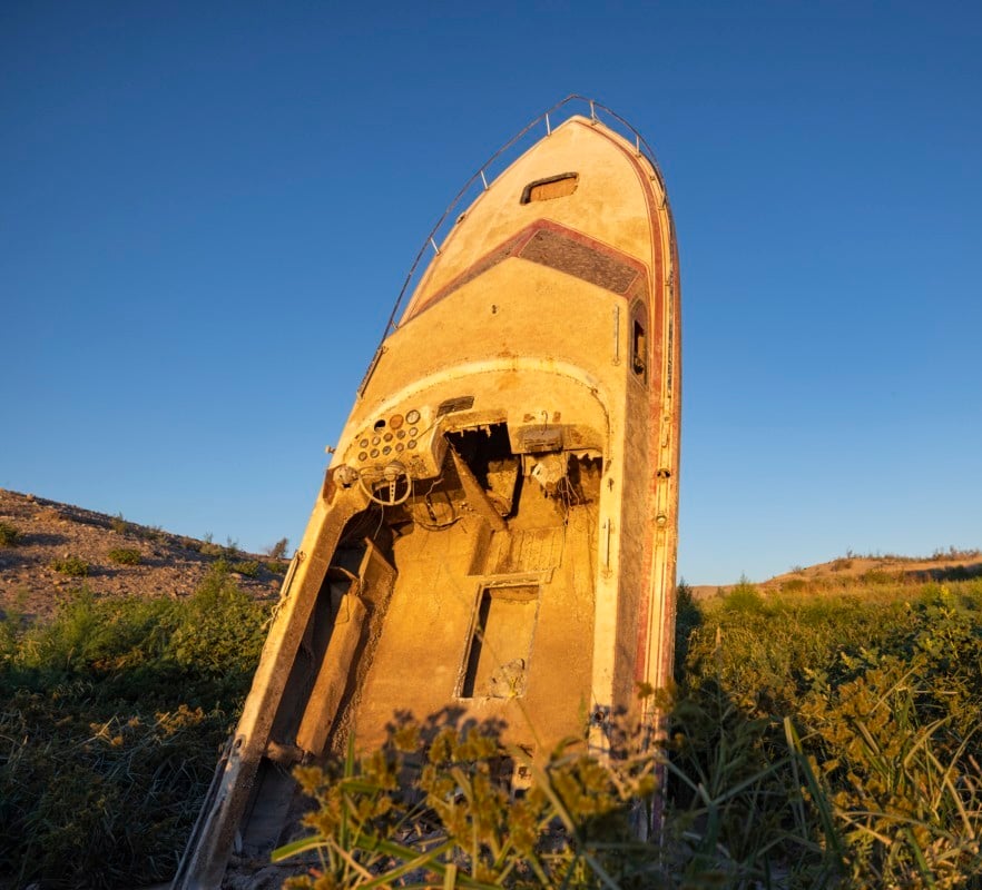
The lake’s level rebounded slightly to 1,040.5 feet before sunrise. However, the historic low arrived years earlier than federal planners anticipated, piling pressure on a region struggling with dwindling supplies, rising temperatures, and an over-allocated river.
Lake Mead currently holds about 27% of capacity (roughly 7 million acre-feet), more than 180 feet below full pool. But this crisis extends far beyond Lake Mead.
In July 2026, the combined live storage in Lake Mead and upstream Lake Powell fell to levels last seen in 1957 — during construction of Glen Canyon Dam, before Powell had begun filling. Both reservoirs remain near critical elevations that threaten hydropower generation and reliable water deliveries.
Rocky Mountain Low
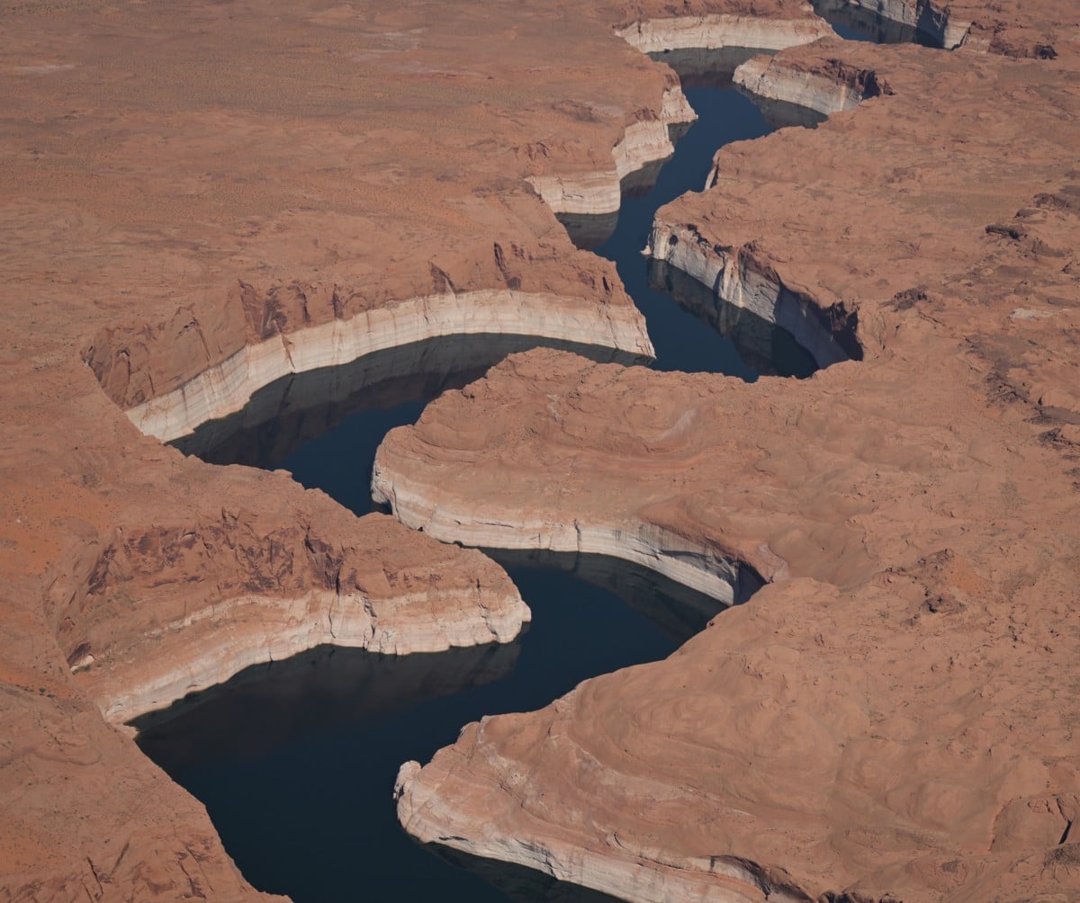
The Colorado River is the backbone of the Southwest, supplying water to approximately 40 million people across seven U.S. states and Mexico, irrigating more than 5 million acres of farmland, generating electricity for hundreds of thousands of homes, and supporting wildlife ecosystems.
Its headwaters in the Rocky Mountains depend heavily on winter snowpack, but recent years have brought warmer temperatures, drier conditions, and historically weak runoff. Last winter produced one of the lowest runoff seasons ever recorded, leaving little relief for reservoirs already in long-term decline.
New Plan
The record low comes just days after the Bureau of Reclamation released a new 10-year plan (through 2036) for managing Lakes Powell and Mead.
The plan requires the Lower Basin states — Arizona, California, and Nevada — to reduce Colorado River water use by about 1.5 million acre-feet over the next two years (roughly a 20% collective cut relative to prior deliveries), with potential shortages of up to 3 million acre-feet per year in drier conditions.
Upper Basin states (Colorado, Utah, Wyoming, New Mexico) face no mandatory reductions, only voluntary conservation of up to 200,000 acre-feet.
Nevada holds the smallest share of the Lower Colorado River Basin at 300,000 acre-feet annually. Under near-term federal guidelines, the state is expected to forgo about 50,000 acre-feet per year initially. In extreme dry scenarios, cuts could reach up to 210,000 acre-feet—a reduction of 28% or more.
Thanks to aggressive recycling, turf removal, and water conservation, the Southern Nevada Water Authority already operates far below its full allocation. Even so, state leaders—including Gov. Joe Lombardo—have slammed the federal framework as “unrealistic,” arguing it fails to demand equal sacrifice across the entire basin.
More detailed two-year operating guidelines are expected to formalize the reductions through 2028. The record low at Lake Mead underscores that even these measures may prove insufficient without broader action, as federal projections indicate continued declines and additional record lows possible in coming months and years if hydrology does not improve.
Experts describe the situation as a clear signal that the Colorado River can no longer meet historic demands under current climate and usage patterns, requiring sustained, aggressive conservation and potentially revised interstate agreements.

 Most Read

Another Shooting Near Las Vegas Strip Casino Injures Man
 972,622 views
Vintners Oppose Napa Valley Casino
556,230 views


Conversation (3 comments)