Las Vegas
VEGAS MYTHS RE-BUSTED: The Las Vegas Strip’s Official Boundaries
Posted on: July 25, 2025, 09:35h.
Last updated on: August 27, 2025, 11:11h.
EDITOR’S NOTE: A new “Vegas Myths Busted” publishes every Monday, with a bonus Flashback Friday edition. Today’s edition originally ran on Dec. 18, 2023.
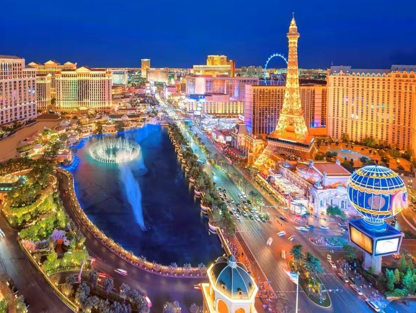
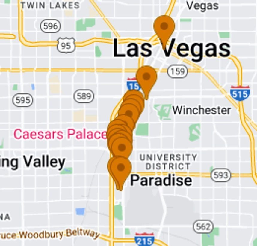
Most people know where the Las Vegas Strip officially starts and ends. It runs from just south of Russell Road, where the “Welcome to Fabulous Las Vegas” (WTFLV) stands, northward to the STRAT.
Except that it doesn’t.
There is no official definition of where, or even what, the Las Vegas Strip is. There are only theories. That’s because it’s not an officially designated place, but merely a nickname for a subjective segment of Las Vegas Boulevard.
Border Disputes
Depending on who you ask, the Las Vegas Strip does or does not include the 0.2 miles of the city of Las Vegas that Las Vegas Boulevard runs through from Sahara Avenue north to the STRAT.
The STRAT will tell you that it 100% does, as will most travel guides, newspapers, and websites that desire to sell advertising to the STRAT.
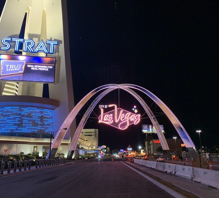
The city of Las Vegas also agrees. In 2020, it installed the Gateway Arches over Las Vegas Boulevard right next to the STRAT to announce where the city begins.
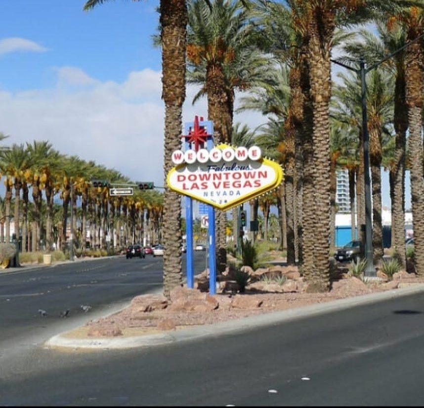
Except, in 2002, the city erected a smaller Welcome to Downtown Las Vegas sign at Sahara Avenue — which is where the city really begins. (It got destroyed by a car in 2016.) And the city begins there because it can’t include any part of the Strip. That’s because of how the Strip came to be.
Strip Search
In 1950, a group of casino resort owners founded the unincorporated Clark County township of Paradise. Their motivation was to avoid paying taxes and fees to the city while still capitalizing on its name by claiming Las Vegas as their address — a scam that continues to this day.
A year later, the smaller township of Winchester, Nev., which Las Vegas Boulevard passes through from the Wynn to the Sahara, followed suit for the same reason.
The earliest known reference to Highway 91 as “The Strip” appeared in a March 1947 newspaper advertisement for a new casino hotel called the Big Hat. “Direct from Ciro’s and Lindy’s,” it described the musical act the Alperi Trio, “Los Angeles’ Sunset Strip to Las Vegas’ Strip.” (Lindy’s Steakhouse was torn down long ago, Ciro’s became the Comedy Store in 1972.)
According to the widow of former L.A. cop Guy McAfee, her late husband had been using the nickname “The Strip” since shortly after he purchased the tiny Pair-O-Dice casino on the deserted road in 1939. It was a purely sarcastic comparison to the bustling Sunset Strip he left behind.
This story may be apocryphal, however, since there is no record of it until after McAfee’s January 1960 death. Regardless, 20 years later, once Interstate 15 was under construction, Highway 91 was decommissioned and renamed Las Vegas Boulevard to reflect its functional transition to a local road, and the Las Vegas Strip became common parlance.
Sign of the Times
Also in 1959, the WTFLV sign made its debut on Las Vegas Boulevard. Designed by commercial artist Betty Willis, it was installed just north of the stone pillars of the old McCarran Field by her employer, the Western Neon Sign Company.
Interestingly, according to a Las Vegas Review-Journal story published on Feb. 6, 1959, Western Neon won its $4K bid by pitching the sign’s wording as “Welcome to the Fabulous Las Vegas Strip.” That would have made the sign more accurate since the city of Las Vegas was 4.2 miles north.
However, the story noted that “after some consideration, the commissioners decided they would rather have the sign read, ‘Welcome to Las Vegas.'”
No reason was cited, and the result confuses visitors to this day.
South of the Current Border
The location for the WTFLV sign, and the unofficial start of the Strip, was chosen because it happened to be the southernmost cutoff for casino resort development at the time. Nearly everything beyond that was still untouched desert.
In theory, though, the sign could, and still can, be moved south at any time to extend the Strip to include its future development. In a decade or two, the sign could very well find itself four more miles south of the city, and perhaps three miles further south at some point after that.
By 2026, the Oak View Group plans to open a $3 billion, NBA-ready arena, 2K-room casino resort, and entertainment district on 25 acres in the current sticks, where the I-15 intersects with Blue Diamond Road.
Last year, Alan Feldman, a former executive with MGM Resorts International, told the Las Vegas Review-Journal that the Strip could conceivably triple in size one day, extending south to the M Resort at Las Vegas Boulevard South and St. Rose Parkway.
The Strip already started its southward migration when Allegiant Stadium broke ground in 2017. When the $1.9 billion, 65K-seat home of the Raiders opened behind Mandalay Bay three years later, it instantly transformed what had been the Strip’s southern tip into its brand-new sports hub.
And hubs don’t exist long on the fringes of anything.
Look for “Vegas Myths Busted” every Monday on Casino.org. Visit VegasMythsBusted.com to read previously busted Vegas myths. Got a suggestion for a Vegas myth that needs busting? Email corey@casino.org.
 Most Read

Another Shooting Near Las Vegas Strip Casino Injures Man


Conversation (0)
Be the first to comment on this article.